
Научно-исследовательская лаборатория эрозии почв и русловых процессов имени Н.И. Маккавеева


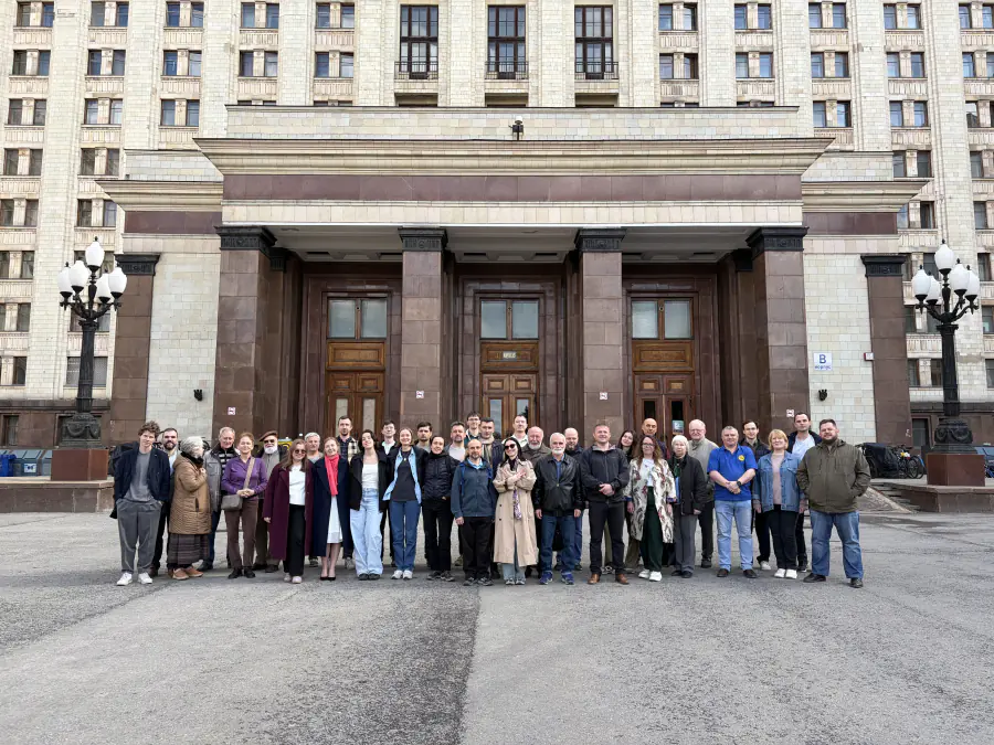
НИЛ ЭПиРП – крупнейший научно-исследовательский коллектив в России, занимающийся изучением эрозионно-русловых систем - форм рельефа и создающих их процессов, обусловленных работой водных потоков. Как структурное подразделение Географического факультета Московского университета Лаборатория начала функционировать 1 сентября 1969. В 1998 г в связи с 90-летием со дня рождения основателя и первого руководителя лаборатории Н.И. Маккавеева (1908 – 1983 гг.) решением Учёного Совета МГУ ей было присвоено его имя, и с тех пор лаборатория именуется как Научно-исследовательская лаборатория эрозии почв и русловых процессов имени Н.И. Маккавеева. Основные направлениями деятельности лаборатории являются:
• теоретические и экспериментальные (натурные и лабораторные) исследования механизма эрозионных, русловых и устьевых процессов в различных природных условиях;
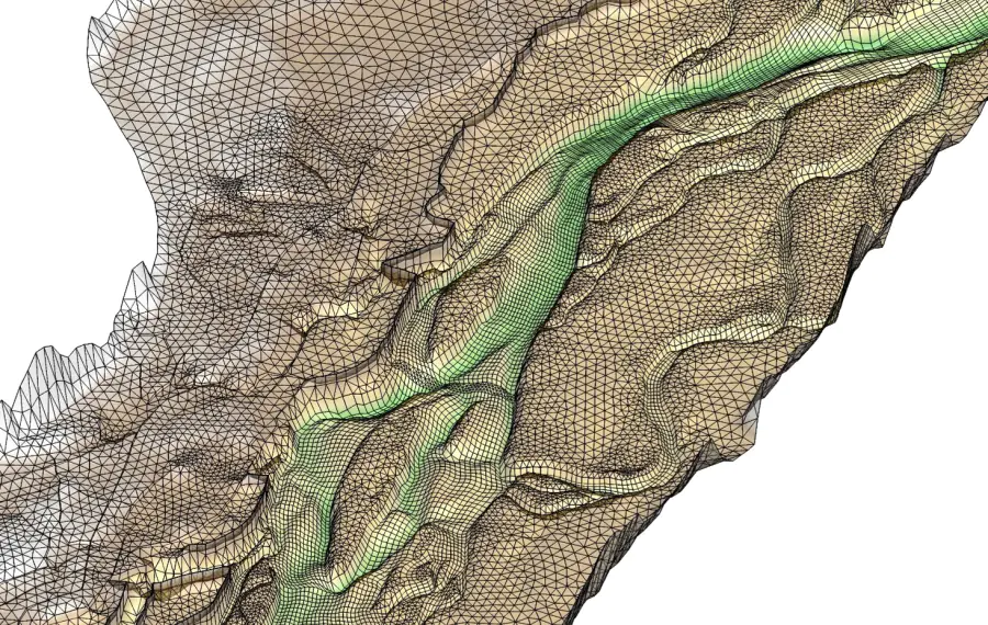
• разработка методов физического, математического и компьютерного моделирования эрозии почв, овражной эрозии и русловых процессов;
• оценка экологического состояния эрозионно-русловых и устьевых систем и обоснование мер борьбы с эрозией почв, овражной эрозией и методов регулирования речных русел и морских устьев рек.
Сегодня лаборатория – это коллектив из 50 человек. Из них 6 человек — доктора географических наук, 27 – кандидаты географических и биологических наук. Свыше 35% коллектива составляют молодые ученые в возрасте до 39 лет.Telegram-канал Лаборатории: https://t.me/MakkaveevLab
- Дистанционные методы мониторинга мутности
- Акустические методы изучения мутности воды
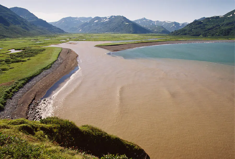
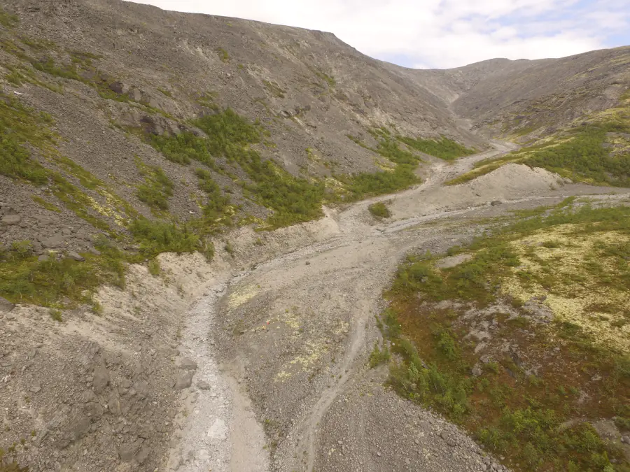
- Мониторинг русловых процессов: натурные исследования и стационарные наблюдения
- Полуавтоматизированные методы определения горизонтальных русловых деформаций
- Метод балансов наносов
- Математическое и физическое моделирование
- Мультимодельный подход
- Экспериментальные методы исследования
- Почвенно-морфологический метод
- Радиоцезиевый, метод трассеров, метод хрономаркеров (цезий-137 глобального и Чернобыльского происхождения)
- Геоморфологическое картографирование
- Метод «отпечатков пальцев» (fingerprinting technique)

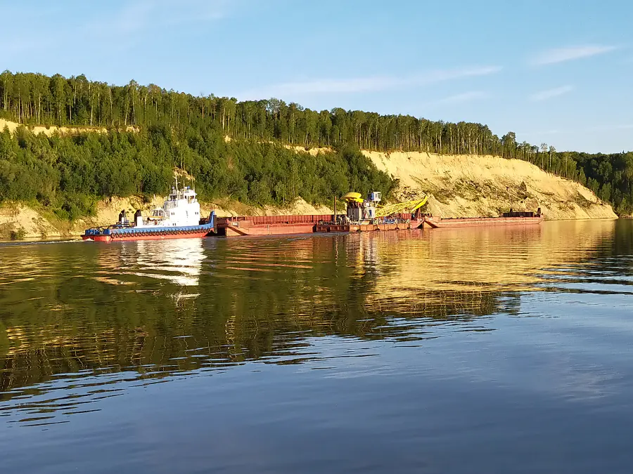
Измерительный комплекс


Речной теплоход

Измерительный комплекс


Топ-100
Области наук
Журналы


Цитирующие журналы

Цитируемые журналы


Издатели
|
5
10
15
20
25
30
|
|
|
Pleiades Publishing
27 публикаций, 17.2%
|
|
|
Springer Nature
22 публикации, 14.01%
|
|
|
Elsevier
18 публикаций, 11.46%
|
|
|
MDPI
10 публикаций, 6.37%
|
|
|
Copernicus
10 публикаций, 6.37%
|
|
|
The Russian Academy of Sciences
10 публикаций, 6.37%
|
|
|
Wiley
6 публикаций, 3.82%
|
|
|
Taylor & Francis
5 публикаций, 3.18%
|
|
|
Russian Geographical Society
5 публикаций, 3.18%
|
|
|
EDP Sciences
2 публикации, 1.27%
|
|
|
IOP Publishing
2 публикации, 1.27%
|
|
|
International Research and Training Centre on Erosion and Sedimentation
2 публикации, 1.27%
|
|
|
Akademizdatcenter Nauka
2 публикации, 1.27%
|
|
|
Royal Society of Chemistry (RSC)
1 публикация, 0.64%
|
|
|
Frontiers Media S.A.
1 публикация, 0.64%
|
|
|
Higher Education Press
1 публикация, 0.64%
|
|
|
IWA Publishing
1 публикация, 0.64%
|
|
|
Harwood Academic Publishers
1 публикация, 0.64%
|
|
|
Gesellschaft fur erdkunde zu Berlin
1 публикация, 0.64%
|
|
|
HARD Pub. Co.
1 публикация, 0.64%
|
|
|
International Association for Great Lakes Research
1 публикация, 0.64%
|
|
|
Izdatel'stvo Moskovskogo Gosudarstvennogo Universiteta im.M.V.Lomonosova/Publishing House of Moscow State University
1 публикация, 0.64%
|
|
|
China Science Publishing & Media
1 публикация, 0.64%
|
|
|
Institute of Electrical and Electronics Engineers (IEEE)
1 публикация, 0.64%
|
|
|
Perm State University (PSU)
1 публикация, 0.64%
|
|
|
Adam Mickiewicz University Poznan
1 публикация, 0.64%
|
|
|
FSBI SRC Planeta
1 публикация, 0.64%
|
|
|
Hydraulic Engineering Project
1 публикация, 0.64%
|
|
|
5
10
15
20
25
30
|
Организации из публикаций


Страны из публикаций
Цитирующие организации


Цитирующие страны
- Мы не учитываем публикации, у которых нет DOI.
- Статистика пересчитывается раз в сутки.
Направления исследований
Моделирование
Изучение речных наносов
Исследование русловых процессов
Исследование бассейновой эрозии и малых рек
Публикации и патенты

Партнёры


")


